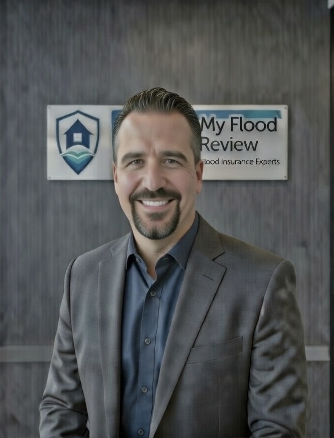
From property owner to flood intelligence specialist
It started with a building project. When I began developing on a parcel that had been mapped into a FEMA Special Flood Hazard Area, I did what most property owners do: I accepted the designation and started working within the system. But the more I looked, the more questions I had. And the more questions I asked, the more I realized that the answers weren't readily available — not from local officials, not from insurance agents, not from carriers.
So I went to the primary source. I obtained the Flood Insurance Study — the technical document underlying the Flood Insurance Rate Map — and read it. All 300+ pages. More than once. I studied the hydrology methodology, the hydraulic modeling, split flow analysis, the cross-section data, and the engineering work product that forms the scientific basis for flood zone designations. What I found was illuminating in ways I hadn't anticipated.
I submitted Public Records Act requests — extensive, multi-year requests that produced a substantial documentary record. That record revealed information that officials, insurance agents, carriers, and neighboring property owners had no awareness of. Information that had direct bearing on the actual flood hazard — or lack thereof — affecting the properties in question.
Armed with that information — the FIS, the PRA record, the mapping history, the regulatory correspondence — I was able to make an educated, informed, and ultimately correct determination of the actual flood hazard affecting my property. Not the designation on the map. The actual hazard. That determination led to meaningful outcomes: building allowances, informed policy choices that met compliance requirements while minimizing unnecessary cost, and the ability to use an elevation certificate strategically because I understood exactly what it documented and how it would be applied.
The experience also revealed something about the system itself. Flood mapping is not a purely technical exercise. It operates at the intersection of science, regulatory policy, community compliance requirements, federal funding incentives, and — in some cases — processes that don't survive close scrutiny. Property owners who understand this dynamic are better positioned to protect their interests. Those who don't are at the mercy of a system that rarely explains itself.
Eventually I obtained my insurance producer license with a specialization in flood — not primarily to sell policies, but to ensure I could speak to every dimension of flood risk with the authority and legal standing the analysis requires. That license, combined with years of primary source research, is what makes MyFloodReview different from anything else available to property owners.
We serve property owners across multiple states — West Coast, Gulf Coast, Southern coastal, and beyond — wherever the intersection of federal flood mapping policy, local regulatory pressure, and individual property rights creates the kind of complexity that benefits from independent, informed analysis.